 Stefan Freelan Cartography
Vashon Island Maps
Click any map to view or download it.
Downloaded maps can be printed (I recommend using a 11×17” color, laser printer with archival inks).
The main (generic) map of Vashon & Maury Island can be purchased (opens in a new tab) as a poster (3 sizes) or water bottle.
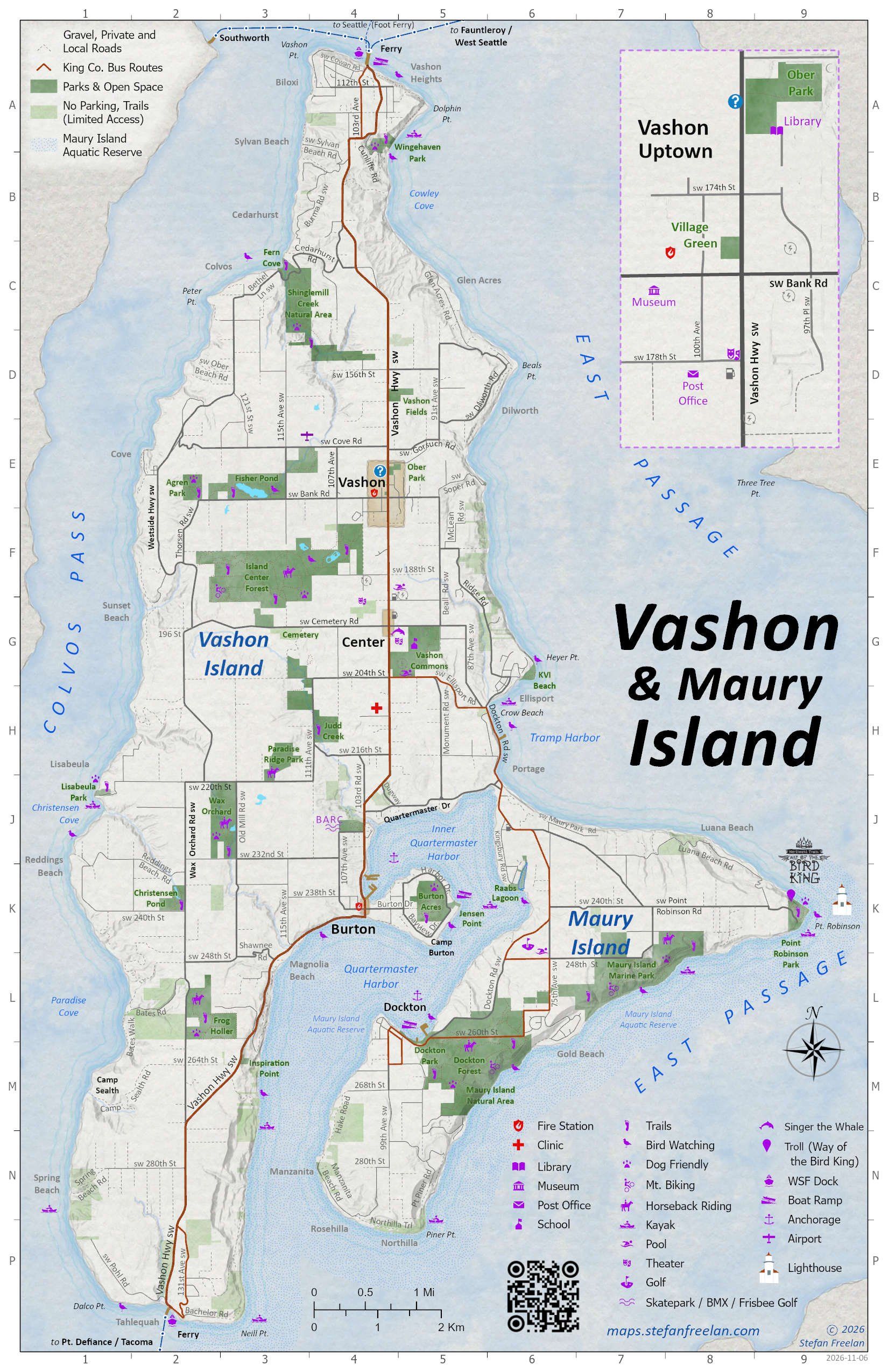
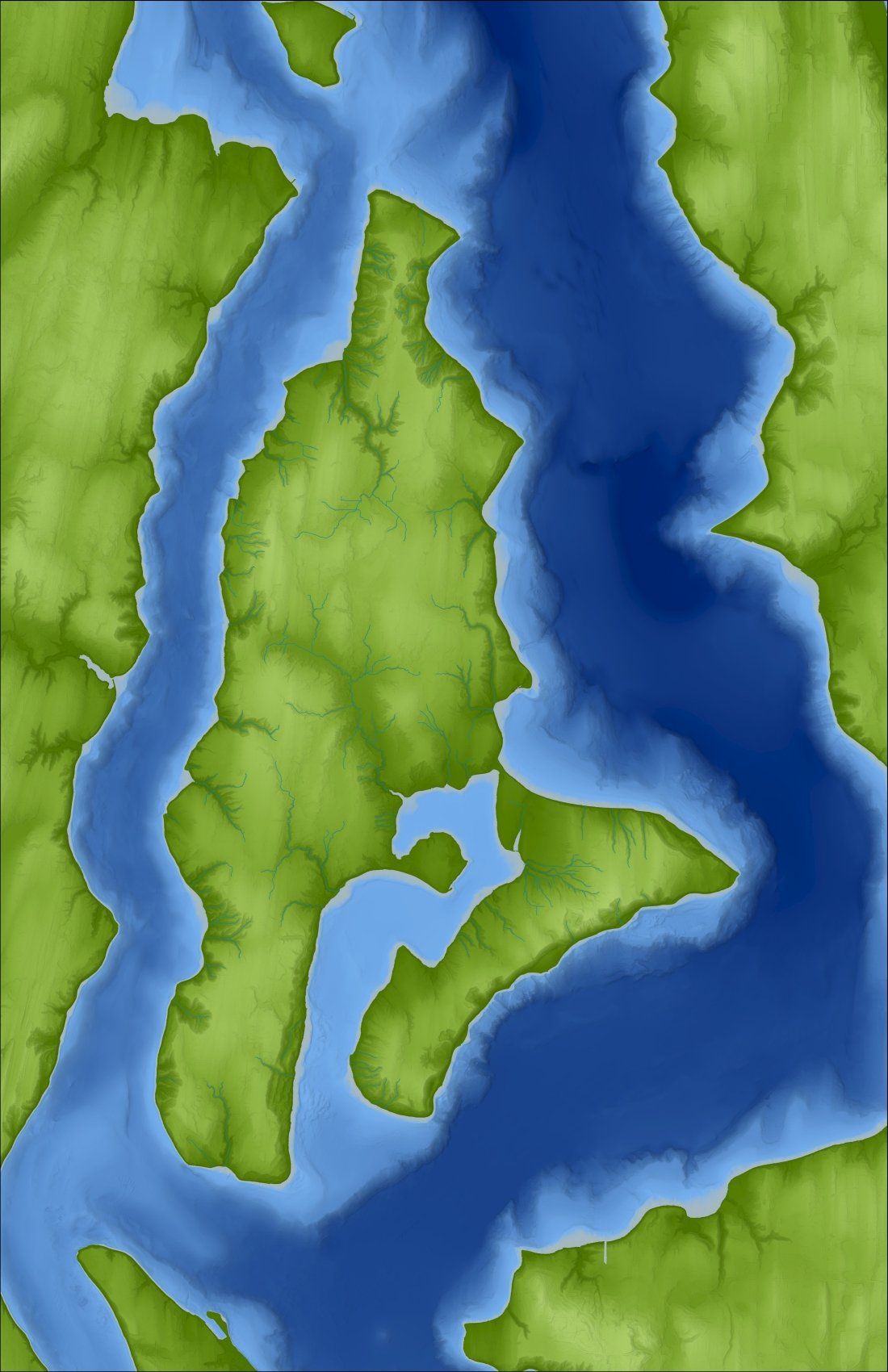
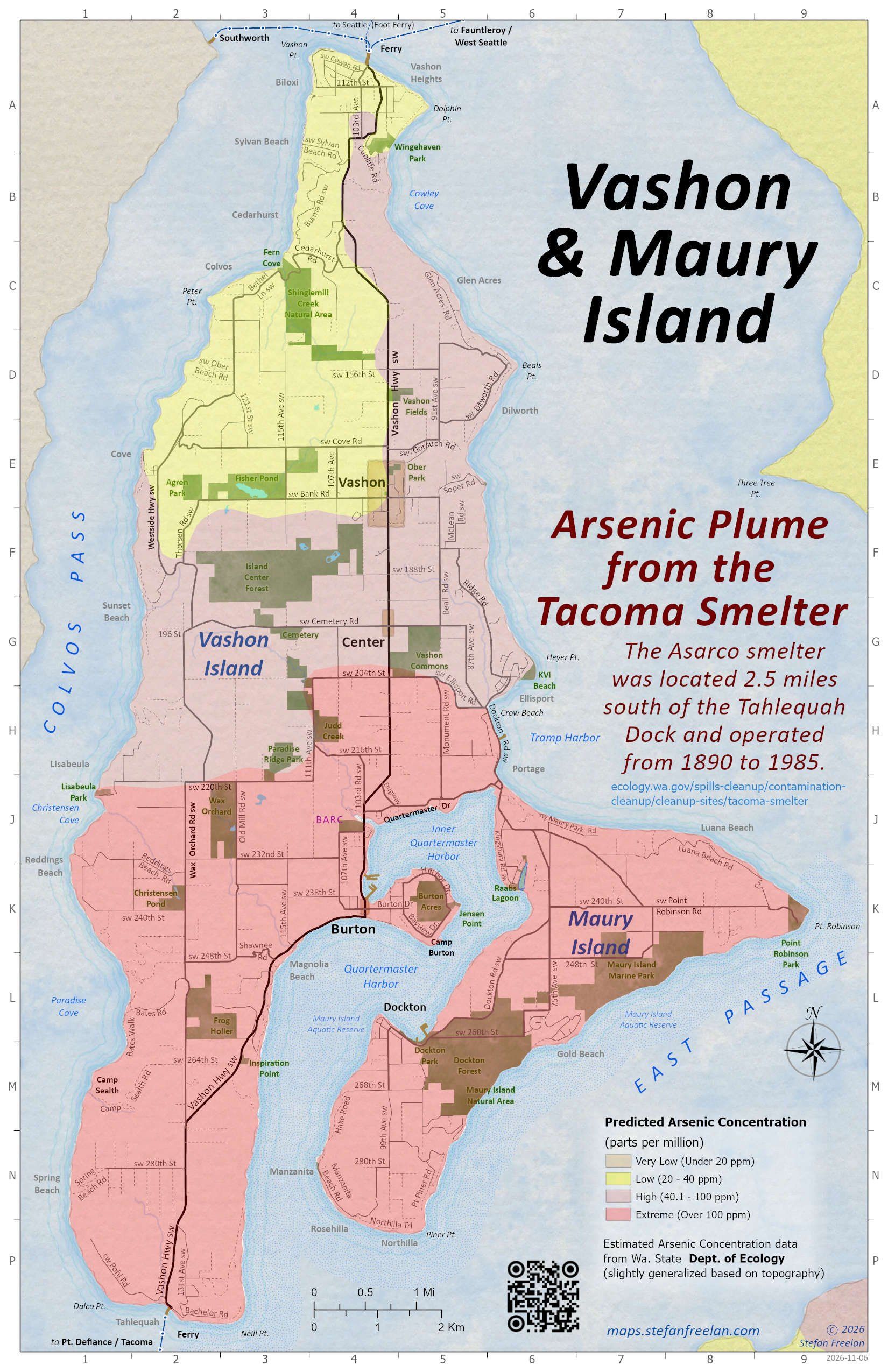
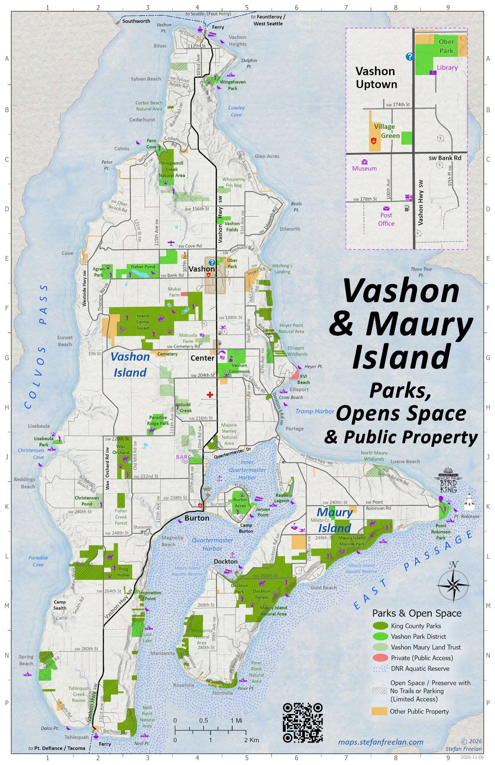
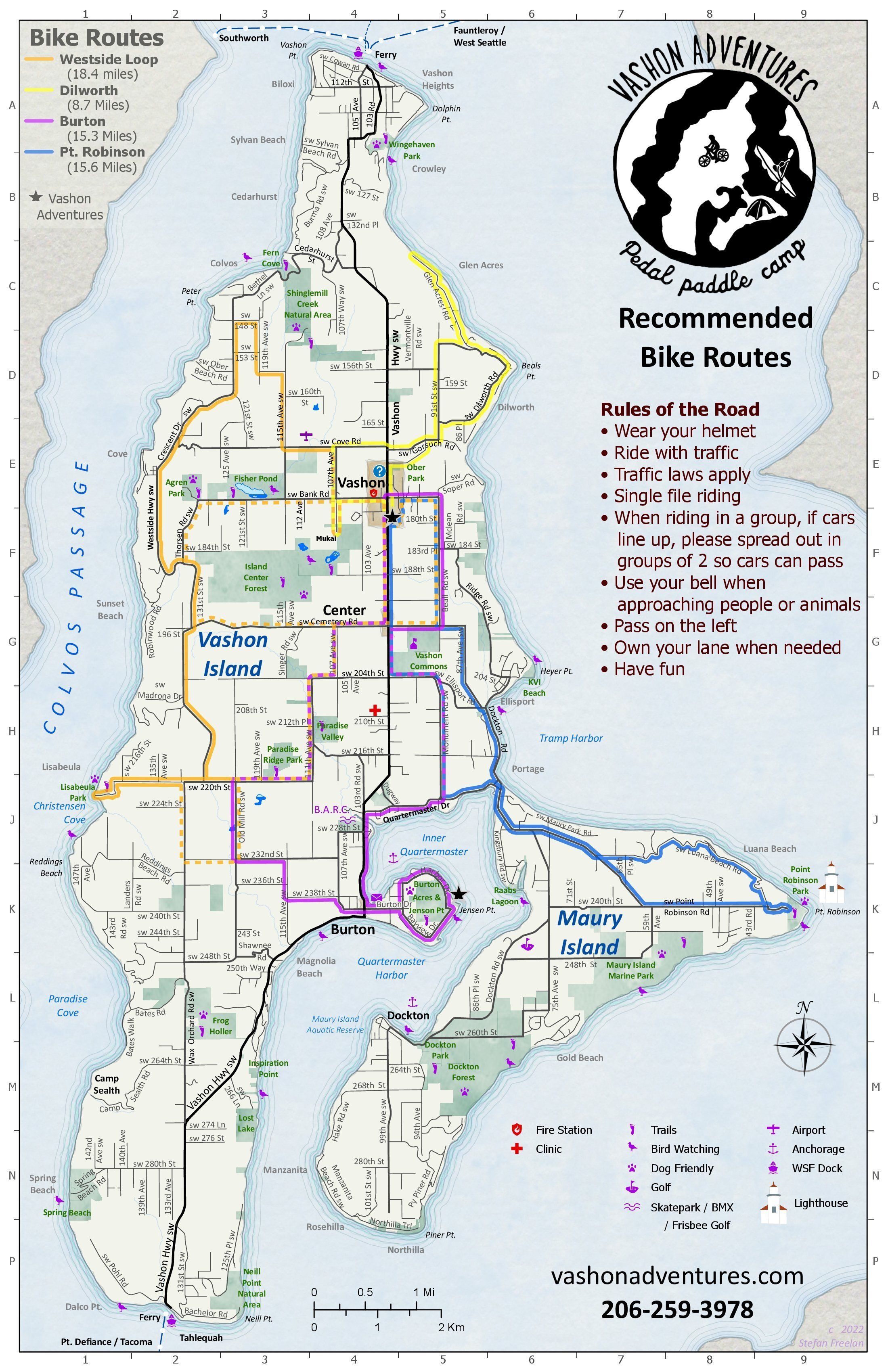
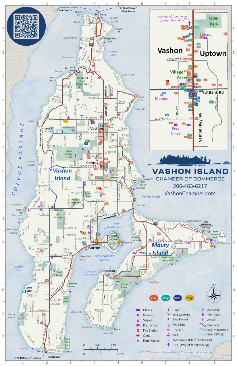
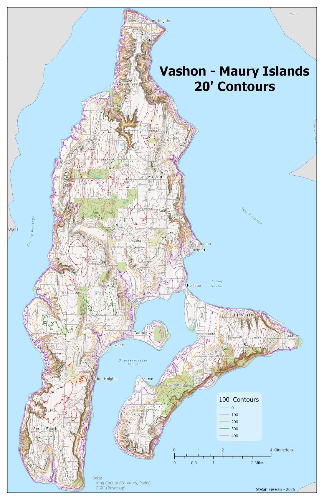
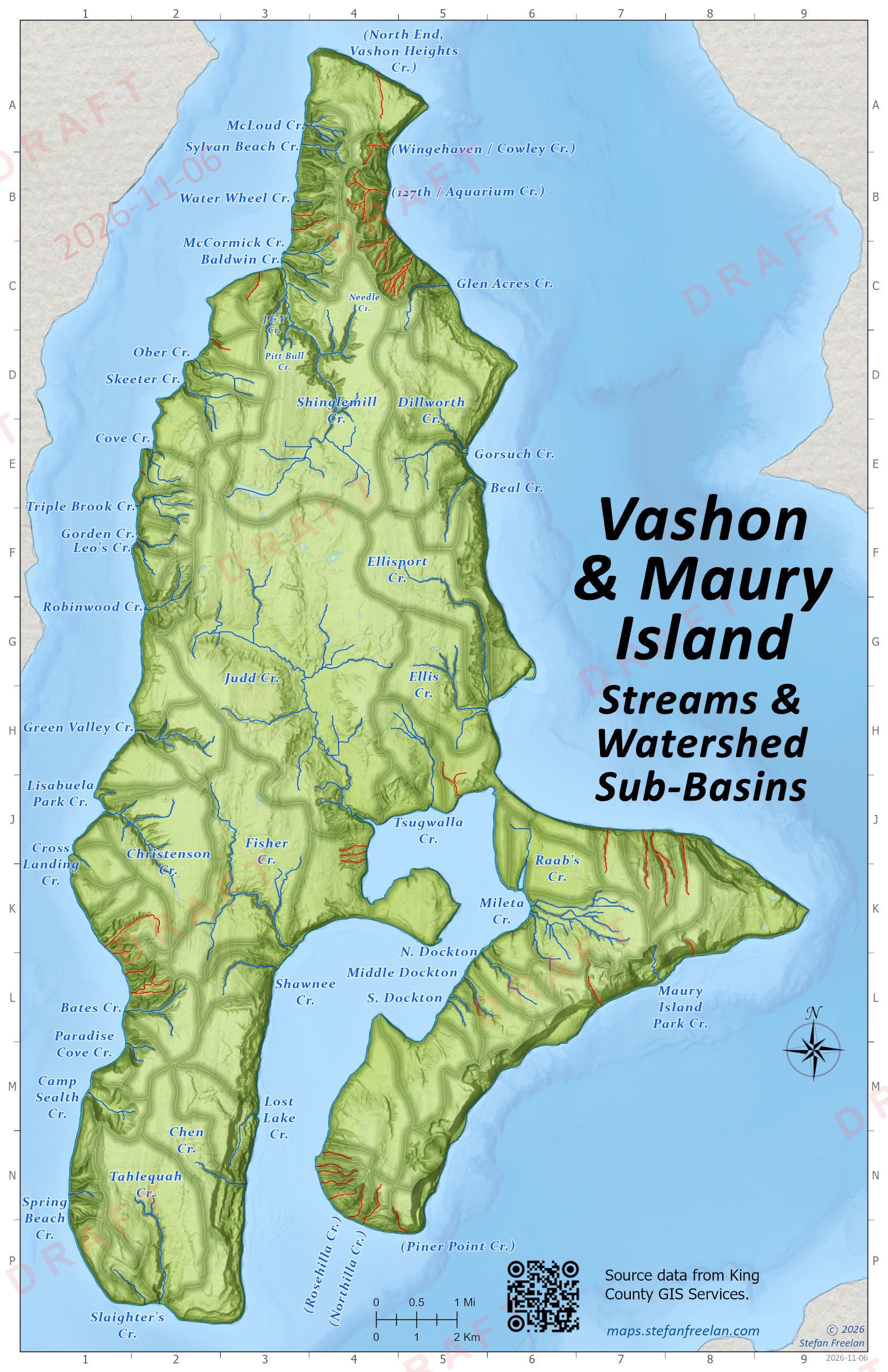
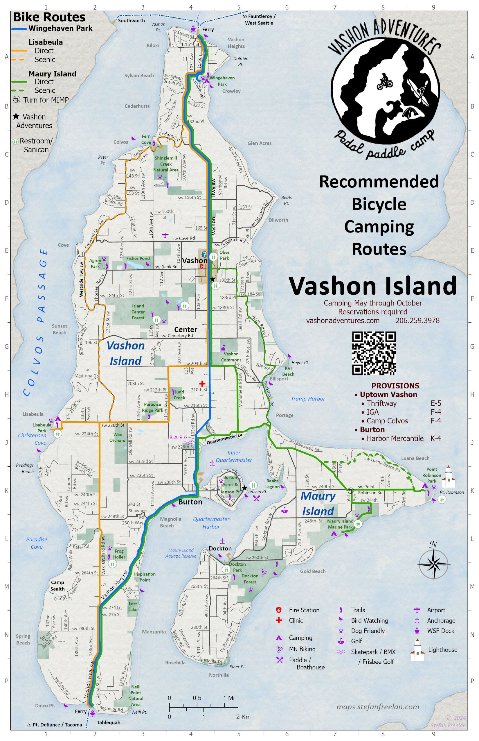
* Geo-enabled PDF file, which can be used with a mobile device. See notes on using geo-PDF files.
Archives / Drafts
- Chamber of Commerce 2024 Map (opens in a new tab)
- Chamber of Commerce 2023 Map (opens in a new tab)
- Chamber of Commerce 2023 Brochure & Map (opens in a new tab)
- Chamber of Commerce 2021 Map (opens in a new tab)
- Strawberry Festival Parade Route (during Covid) (2021)
- Vashon Biden Inauguration Parade Route (2021)
- Vashon / Maury Island Census Areas (2024)
Vashon Island Web Maps
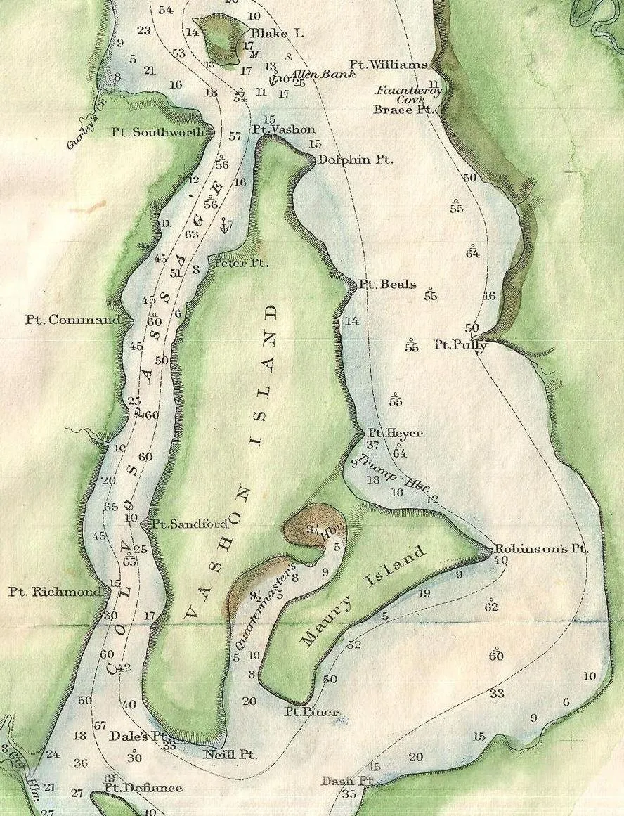
Vashon Maury Island Archival Map Viewer (opens in a new tab)
(An online collection of archival maps dating back to 1867)
Vashon-Related Map Links:
Parks - Land Trust - Trails - Busses - Etc.
- Vashon-Maury Island Land Trust (opens in a new tab)
- Vashon Park District (opens in a new tab)
- King County Parks (opens in a new tab)
- King County Parcel Viewer (opens in a new tab)
- King County Bus Routes (118, 119) (opens in a new tab)
- WA Dept of Ecology: Tacoma Smelter Plume (opens in a new tab)
- See also interactive map (opens in a new tab)
- WA Dept of Natural Resources Maury Island Aquatic Reserve (opens in a new tab)
- Other Cartographers