Skip to content
Stefan Freelan Cartography
Menu
Salish Sea
Vashon Island
Static Maps
Web Maps
Prints
Consulting
About
Salish Sea
Vashon Island
Static Maps
Web Maps
Prints
Consulting
About
Maps Home
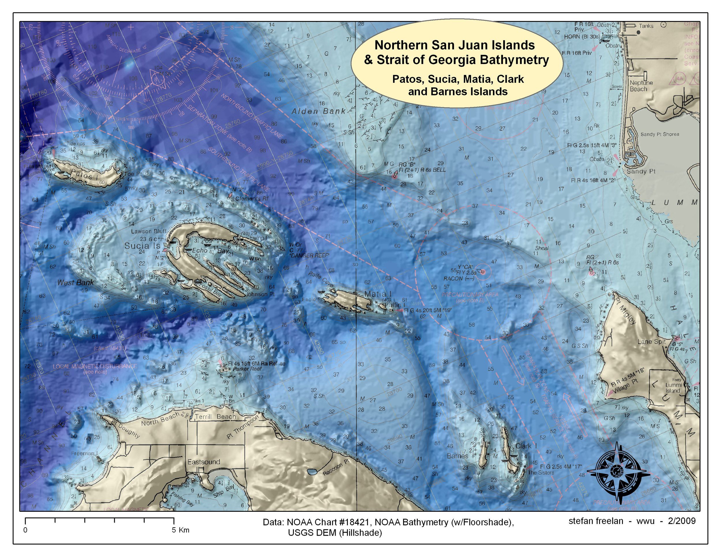
Sucia Bathymetry. 2009, 8.5x11
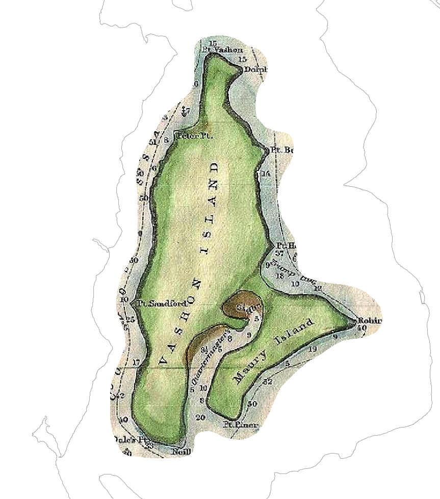
Vashon Island Archival Map Viewer
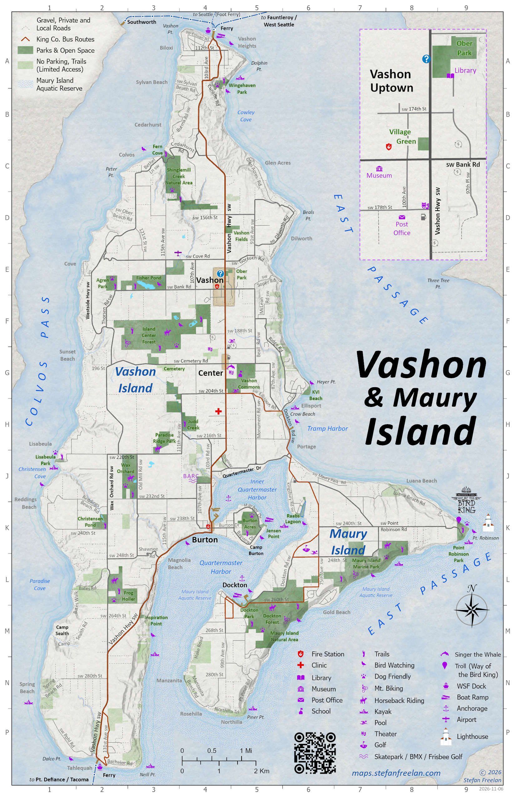
Vashon Roads, Parks & Points of Interest. 2026, 11x17 *
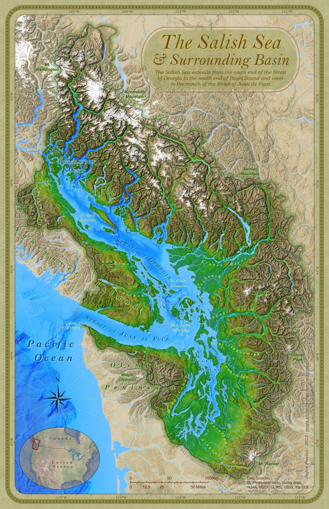
Map of the Salish Sea & Surrounding Basin. 2023, 11x17
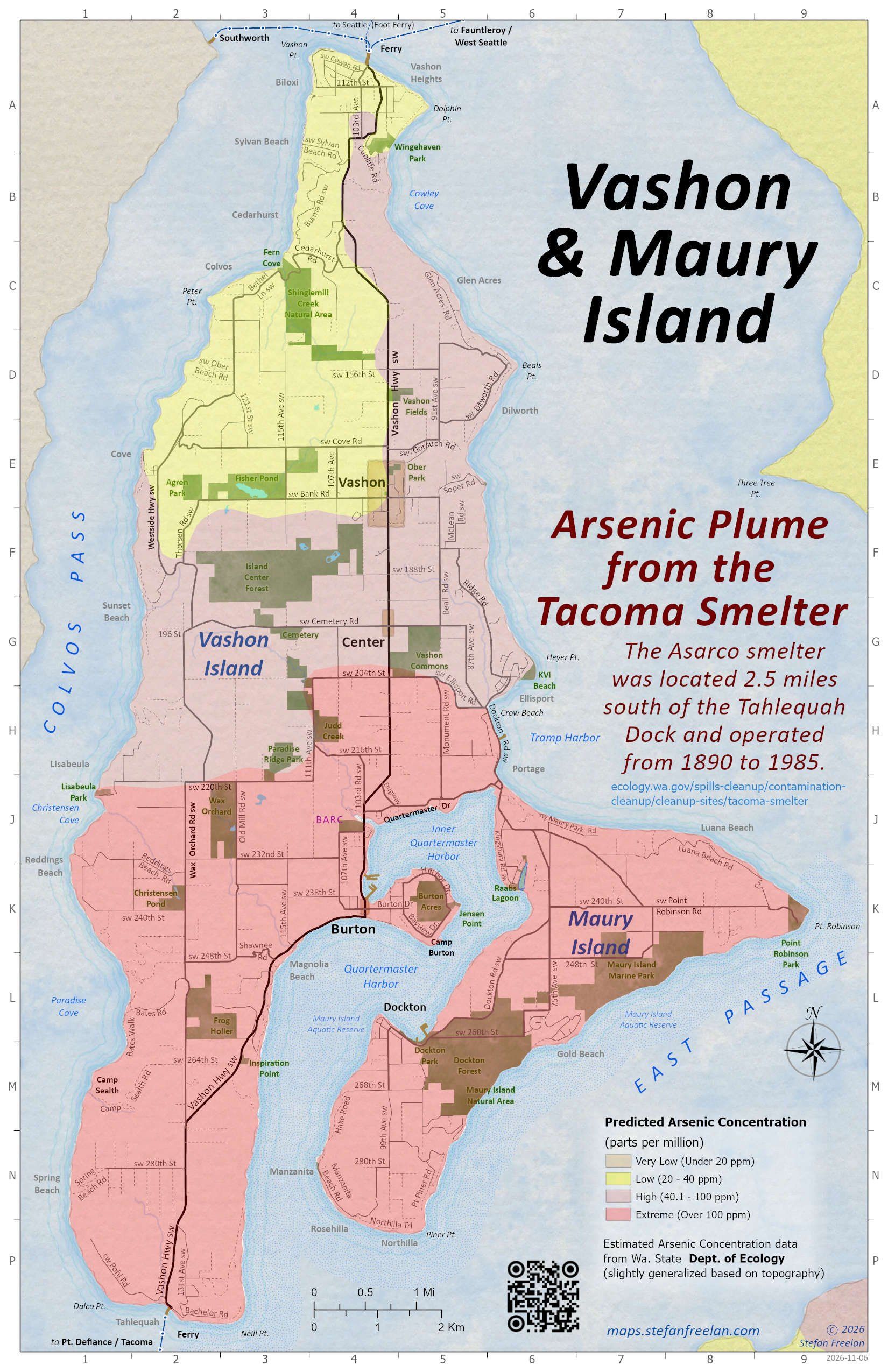
Vashon Arsenic Plume from the Tacoma Smelter. 2026, 11x17 *
* Geo-enabled PDF file, which can be used with a mobile device. See
notes on using geo-PDF files
.
The
Salish Sea and Surrounding Basin
Maps of
Vashon-Maury Island
Misc.
Static Maps
Geo-Enabled Map
s (PDF’s)
Misc.
Web Maps
 Stefan Freelan Cartography